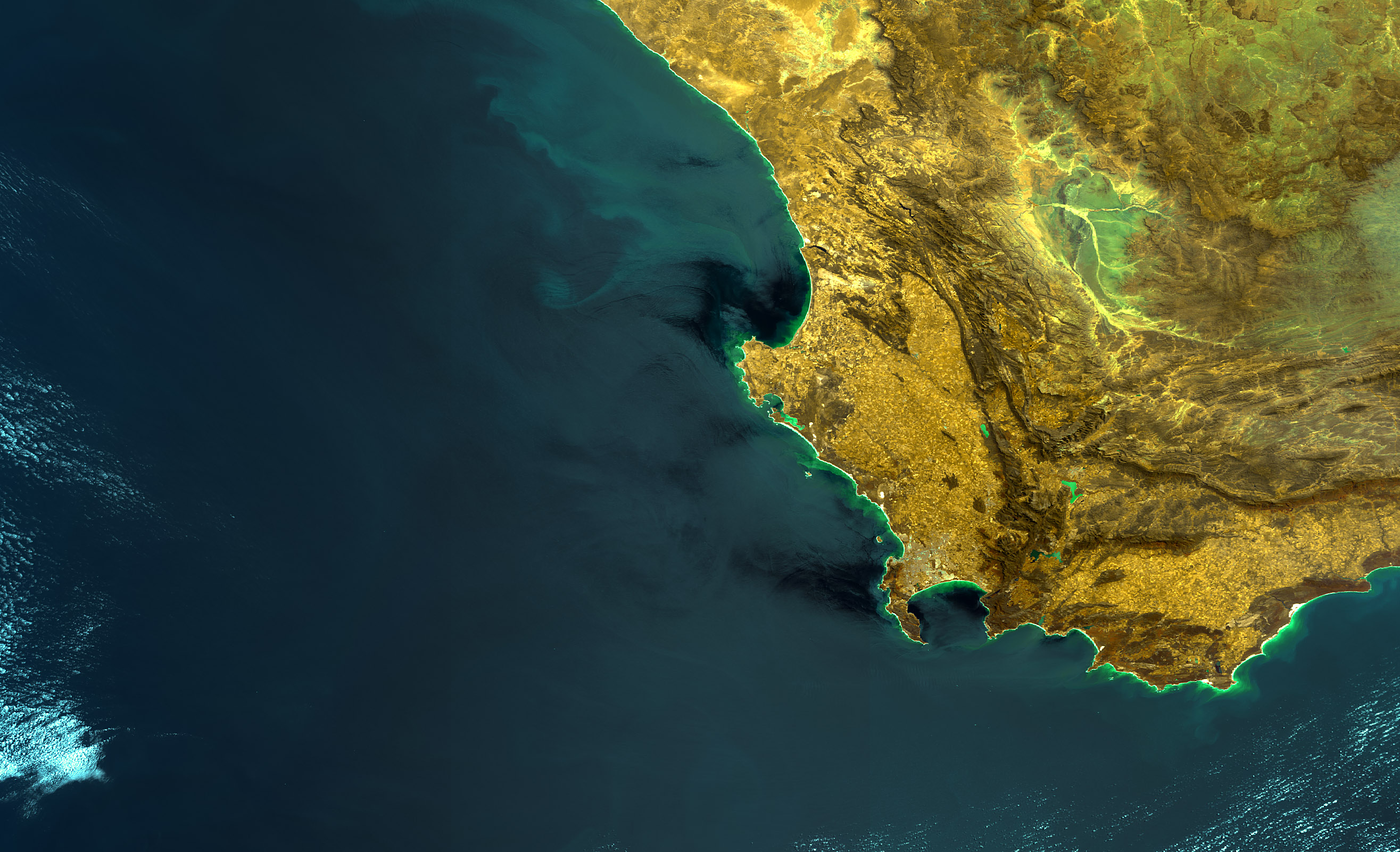
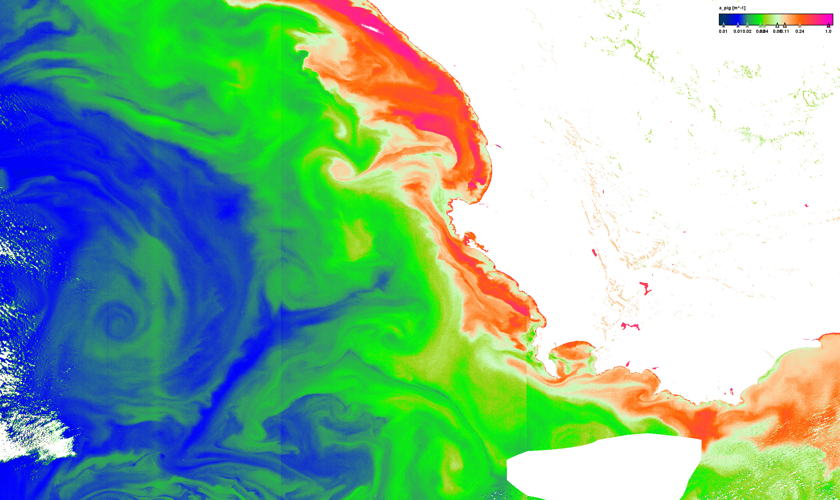
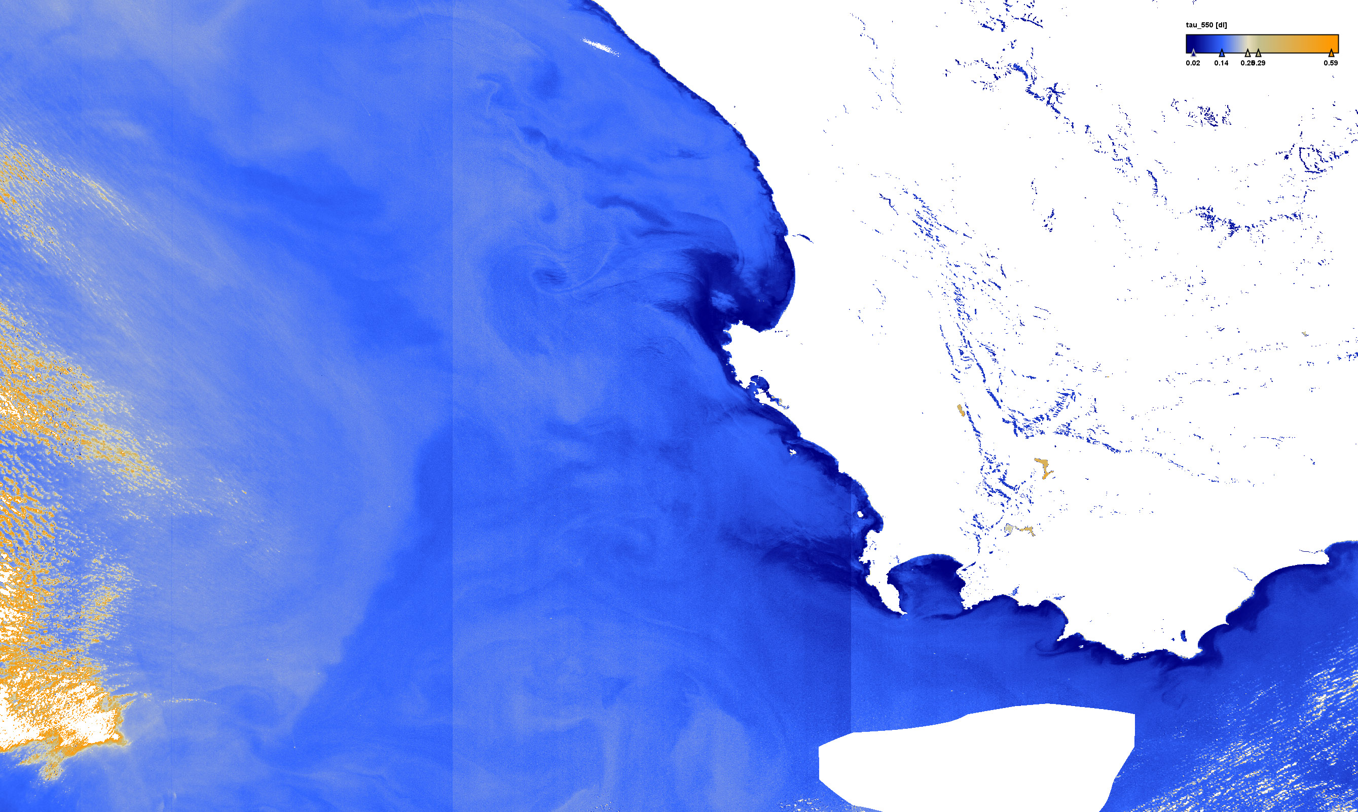
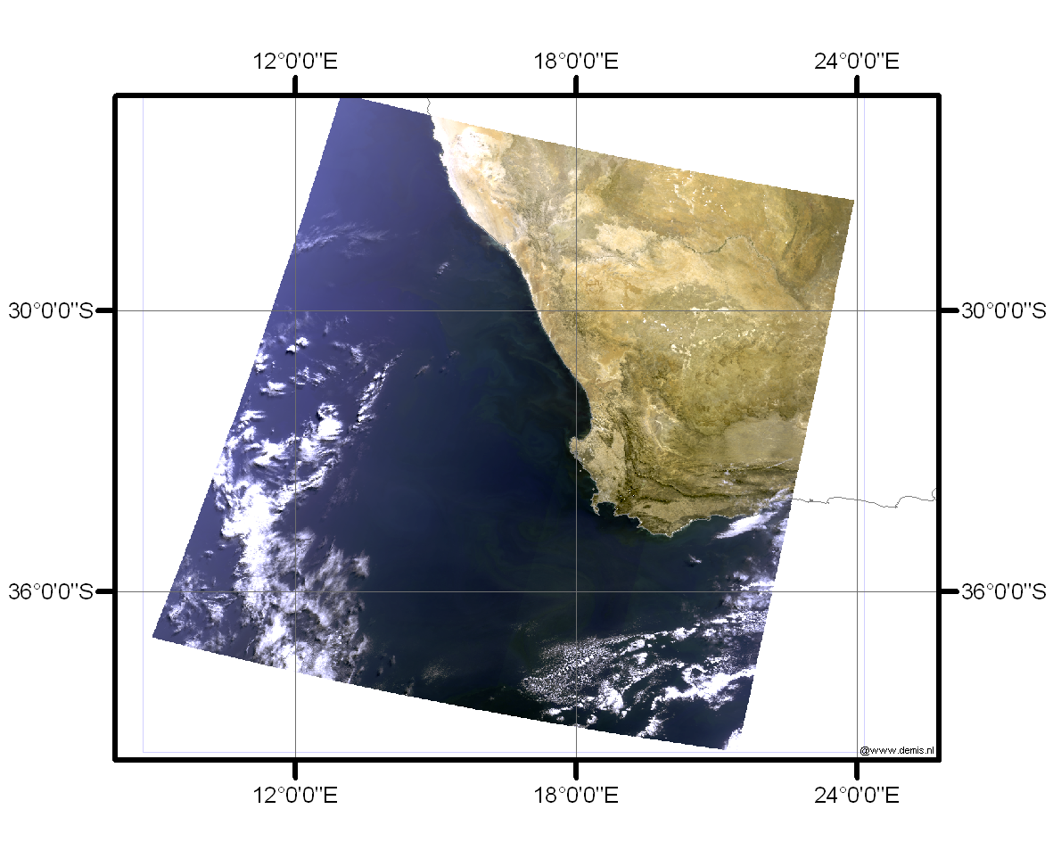
The Benguela region is at the southern end of the Benguela upwelling system where cool, up-welled nutrient rich waters supports high phytoplankton standing stocks. There are no major rivers delivering sediment run off (Aiken et al, 2007) and the waters are pre-dominantly case 1. Red tides blooms frequently occur in bays in the region (Pitcher et al, 2008) with extremely high concentra-tions and can pose a threat to human health. Extensive in situ sampling has been done in the region and validation of MERIS data has already been attempted using the standard Algal _1 product and a specific local empirical algorithm (Pitcher et al, 2008). MERIS validation was also undertaken during a major ship campaign (BENCAL, Aiken et al., 2007).