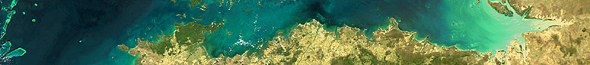
Amazon Delta,
Northern Brazil
01. October 2005,
orbit: 18758


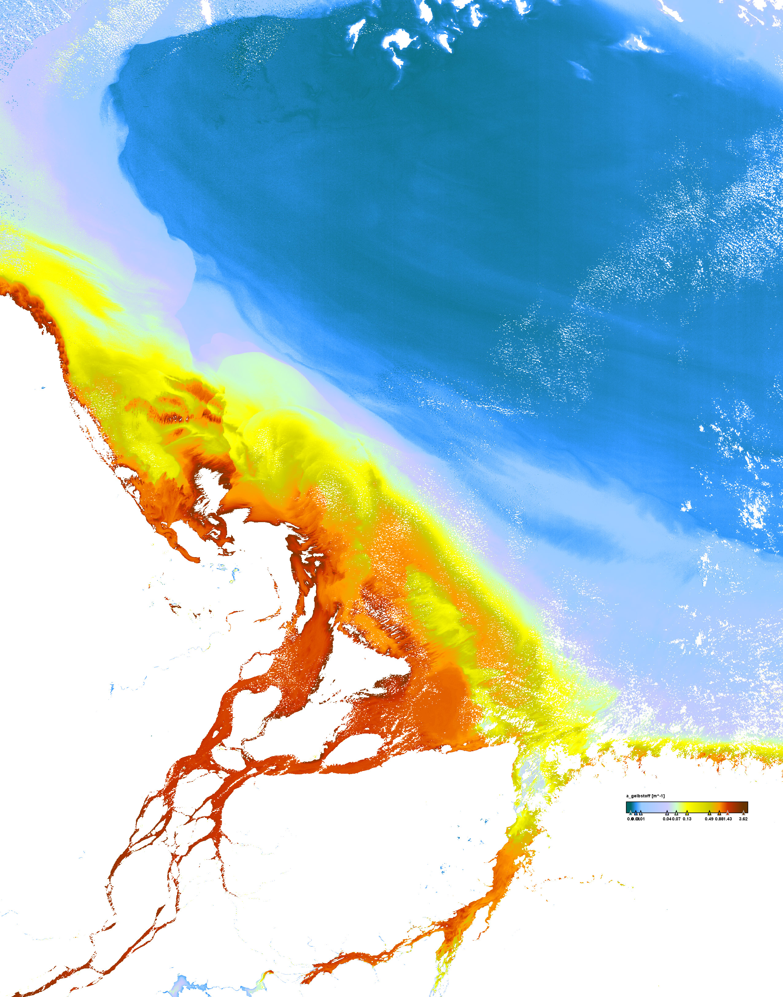
Yellow substance absorption coefficient


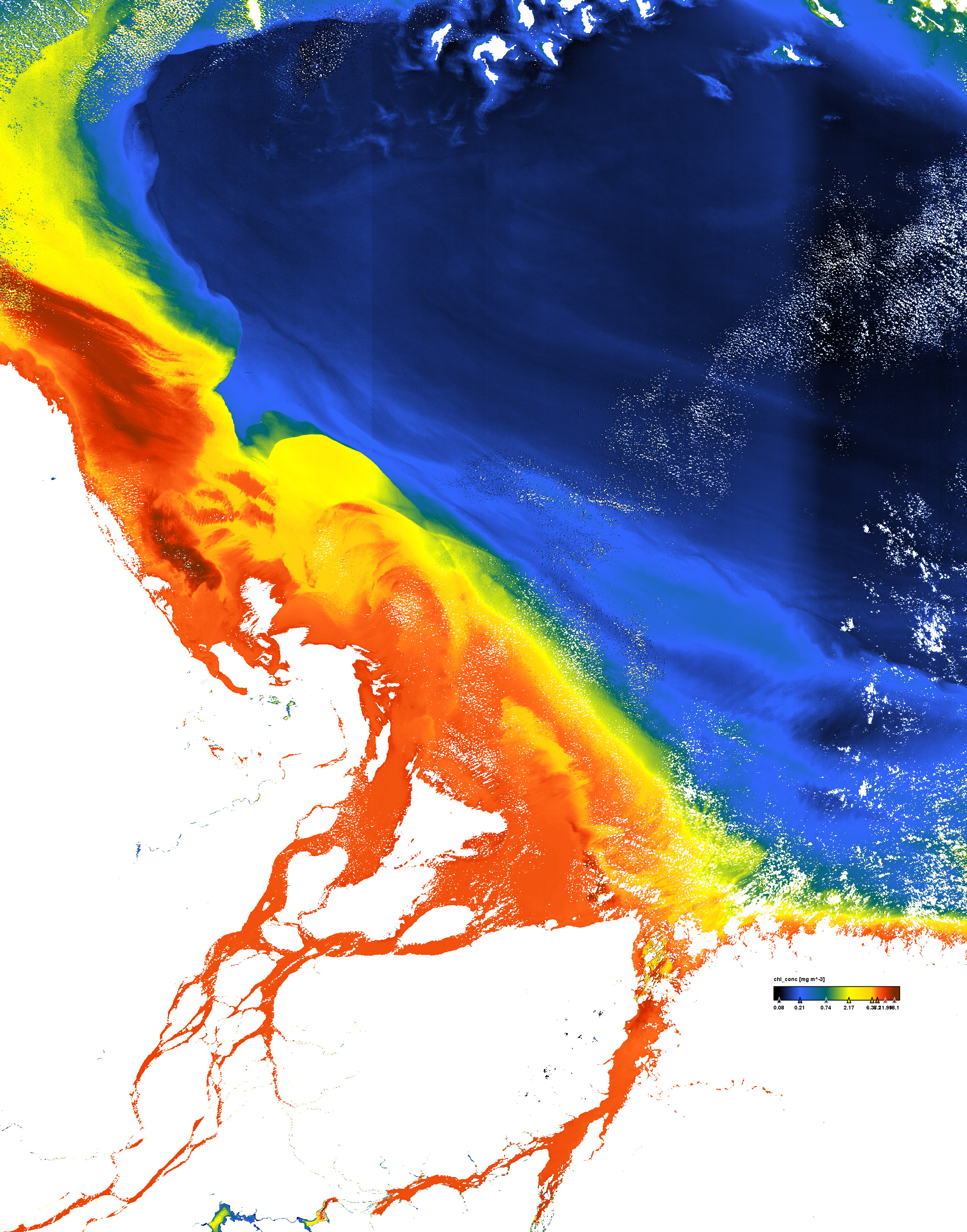
Chlorophyll concentration


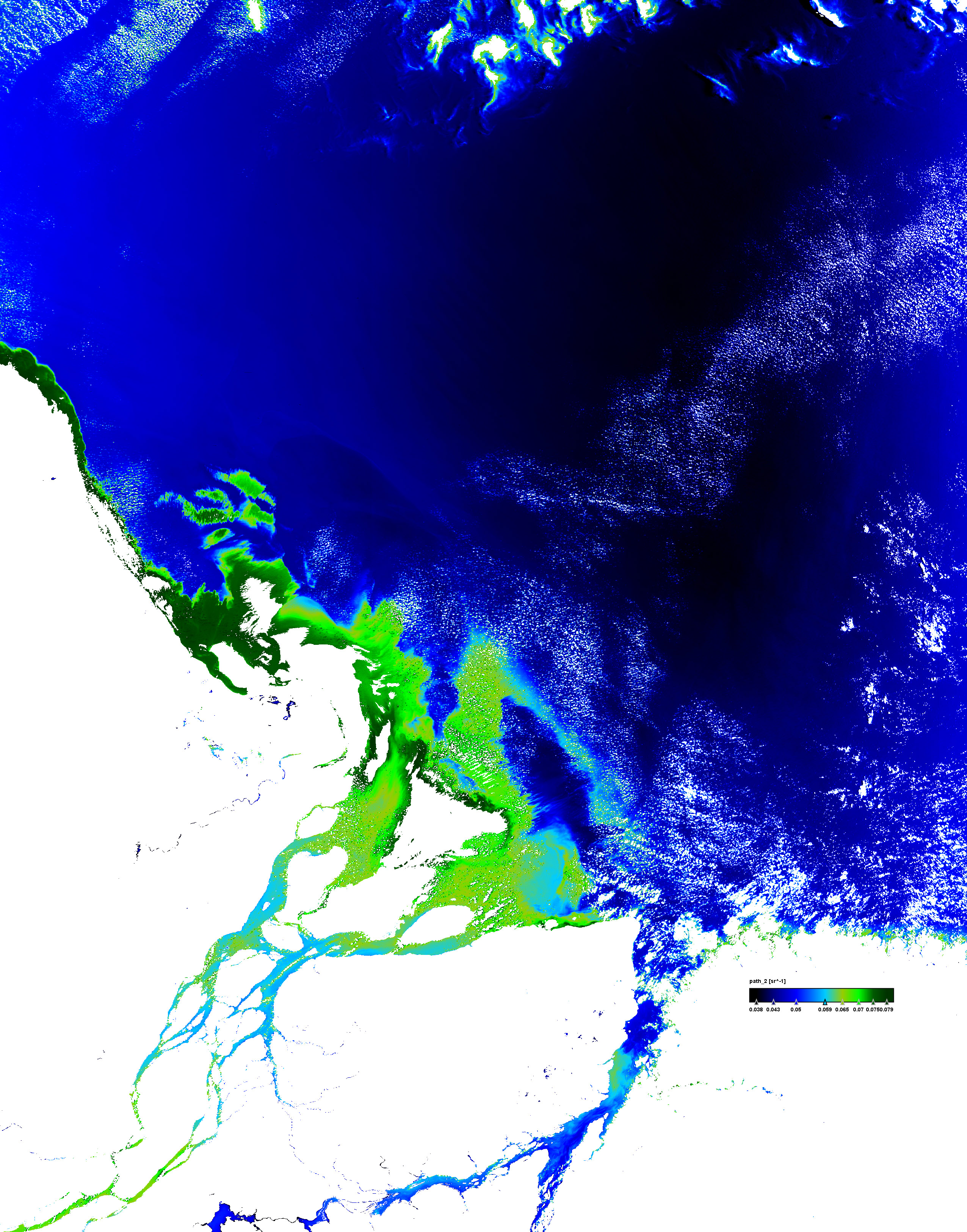
Atmospheric path radiance in band 2


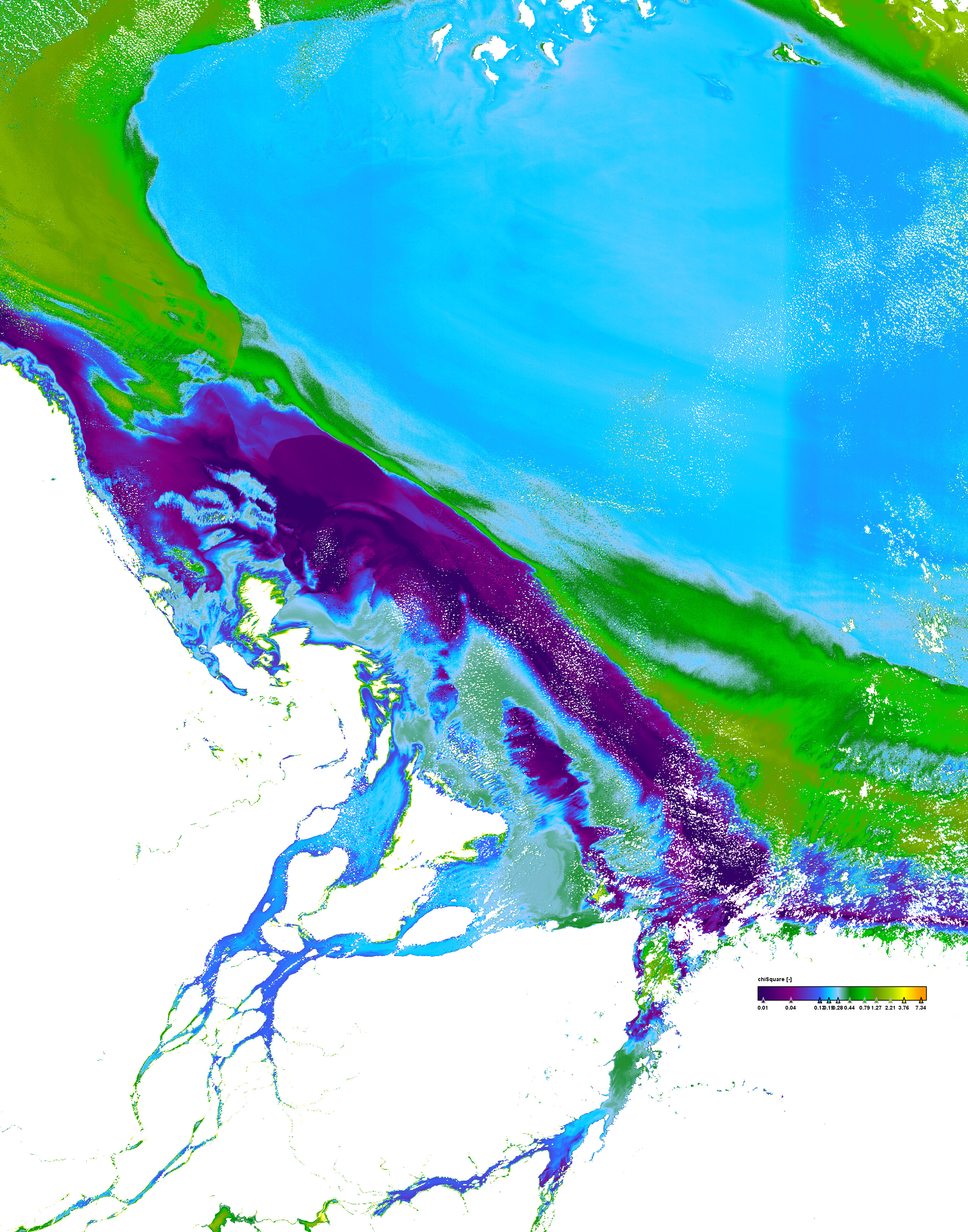
Quality measure of the inversion procedure (chi square)


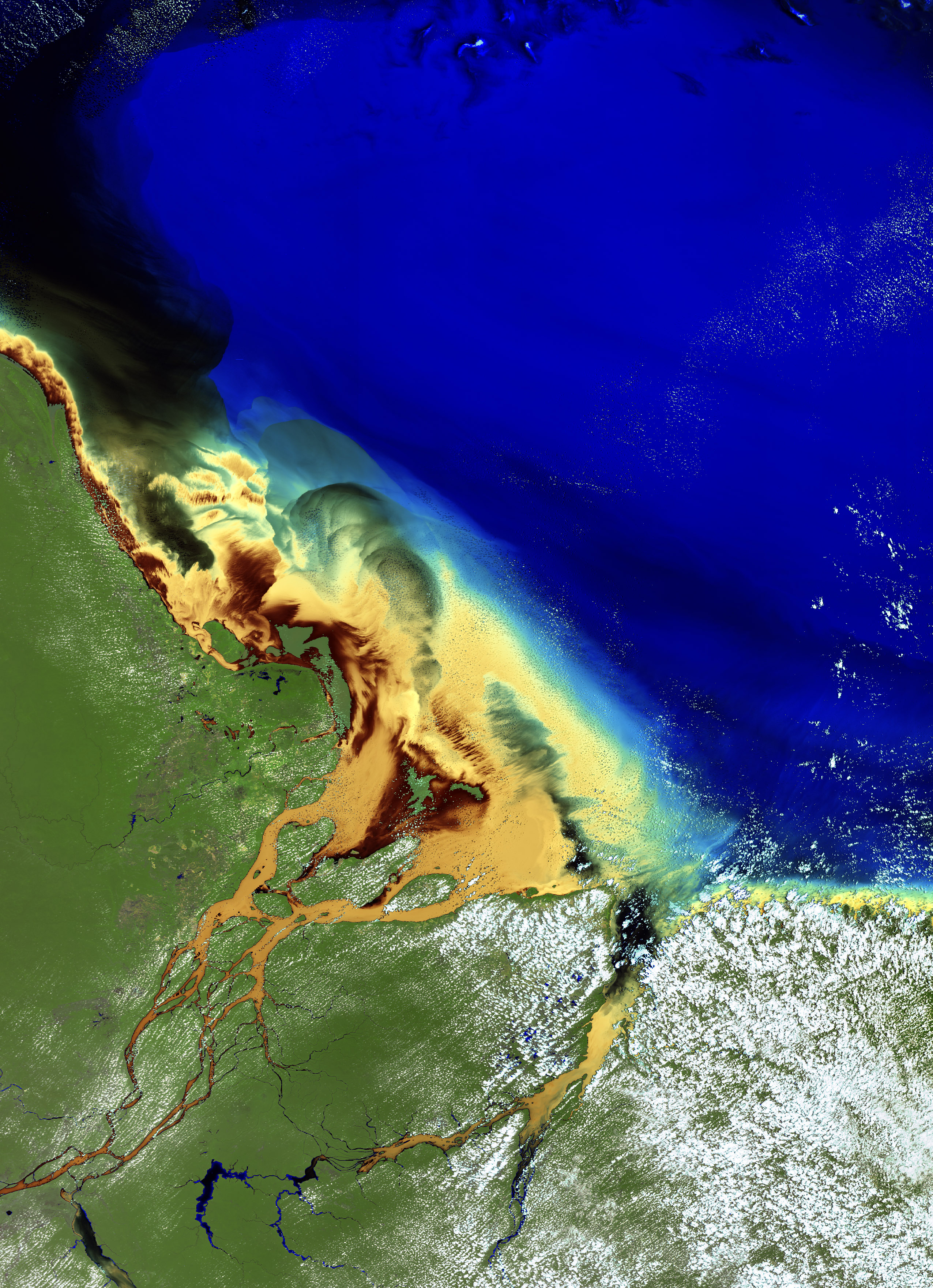
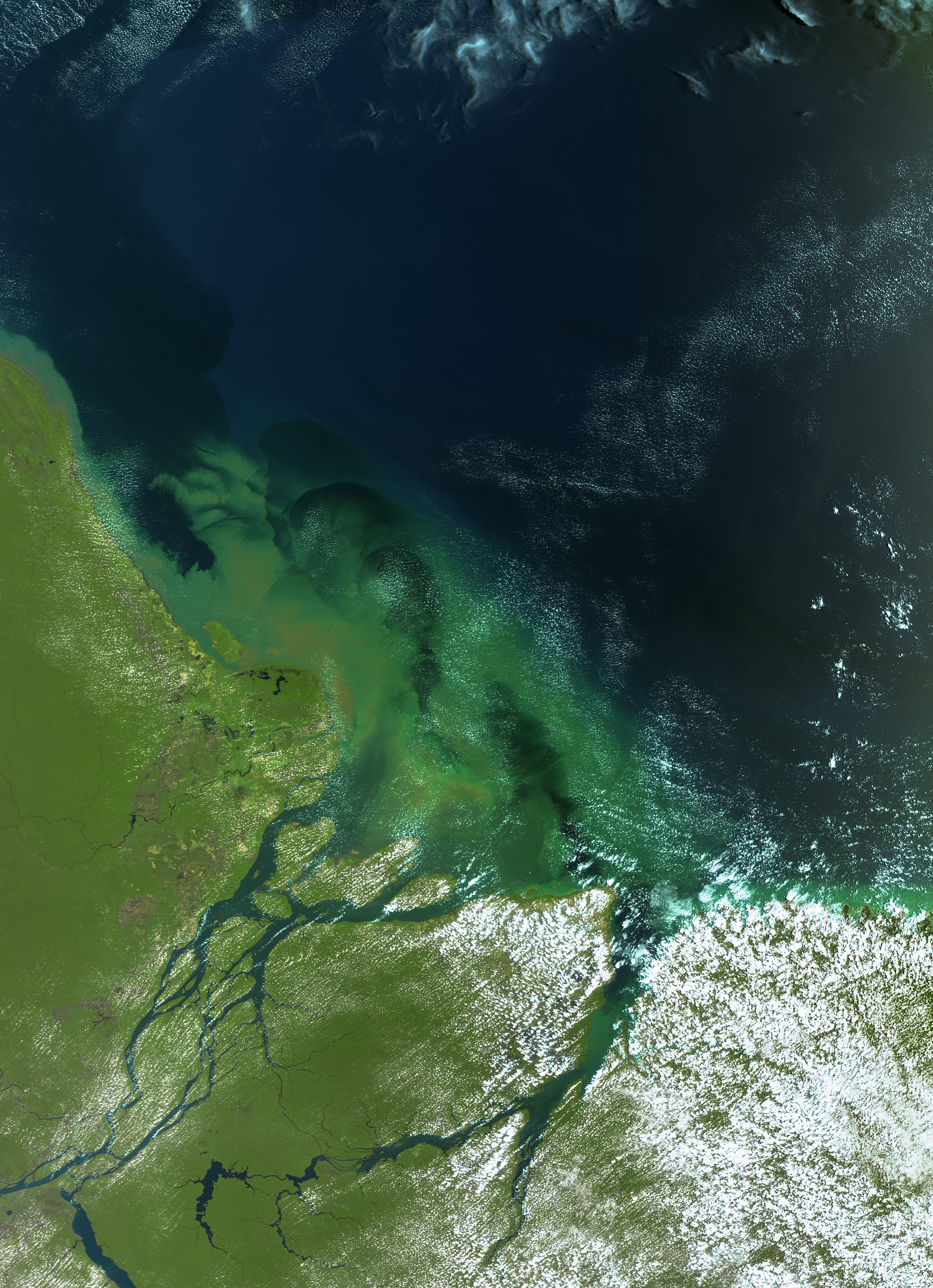
Composition L1 RGB and
L2 RGB (bands 6-5-2)


Click on the small images above to get the full resolution image (appr. 5÷6MB)
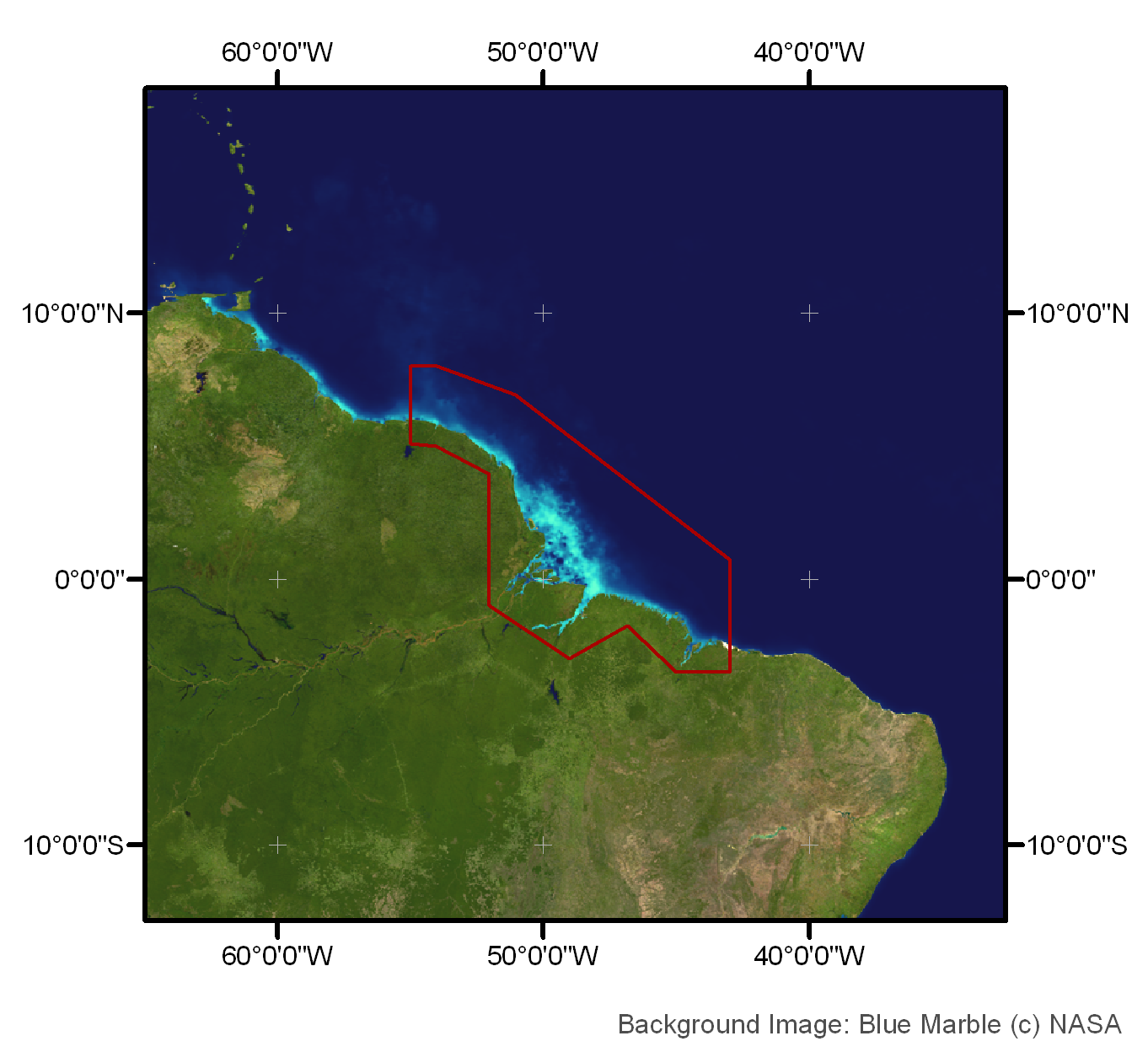
Site21: French Guyana & Amazon Delta

French Guyana and Amazon Delta, Northern Brazil

 Site 21 in Google Earth 

 Download the sample products:
  L1P (538MB)
L2R (883MB)
L2W (1418MB)


subset:
L1P (160MB)
L2R (279MB)
L2W (448MB)


Standard products
Experimental products
Responsible partner
   

The Amazon is the largest river in the world in terms of the size of its watershed, the number of tributaries, and the volume of water discharged into the sea. On an annual basis, this river discharges ~15% of the total freshwater input to the ocean [Baumgartner and Reichel, 1975], with a strong seasonal variation.
The Amazon water flows northwestward along the South American coast for hundreds of kilometres. The river plume can be as wide as 400 km in the vicinity of the mouth and its components affect the biology and optical properties of the western tropical North Atlantic Ocean.
The Amazon River plume is clearly evident in satellite ocean colour images as regions of high attenuation of blue light, normally interpreted as high chlorophyll concentrations. However, it has been found recently that large contribution from coloured dissolved organic matter (CDOM) has to be taken into account to produce correct estimates of chlorophyll concentrations from space in this area [Del Vecchio and Subramaniam, 2005].
The effects of high CDOM can also be observed from space in the Guayana coasts [Yamashita et al., 2010].