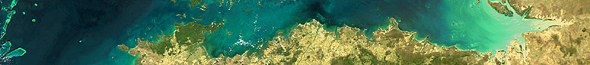
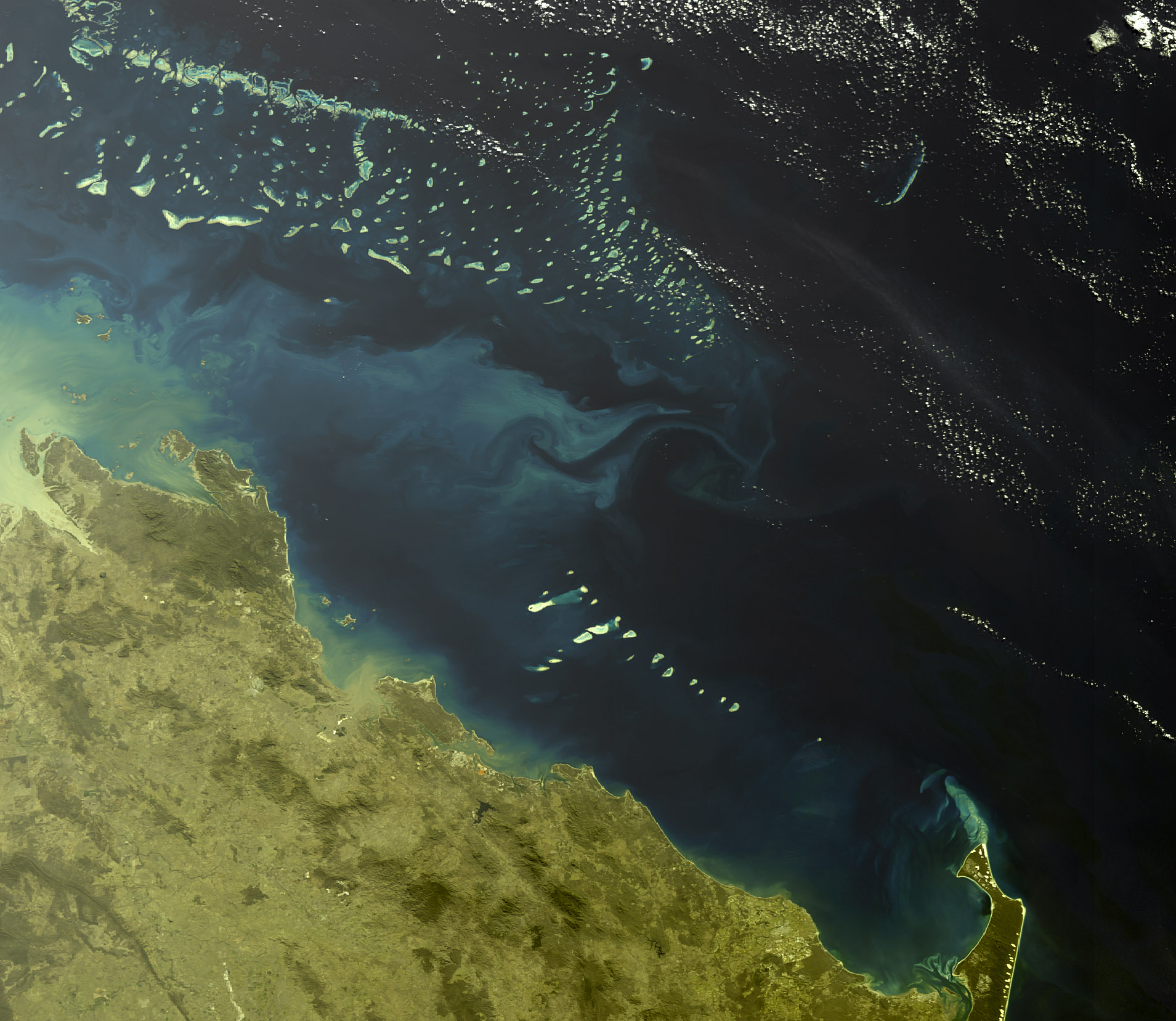
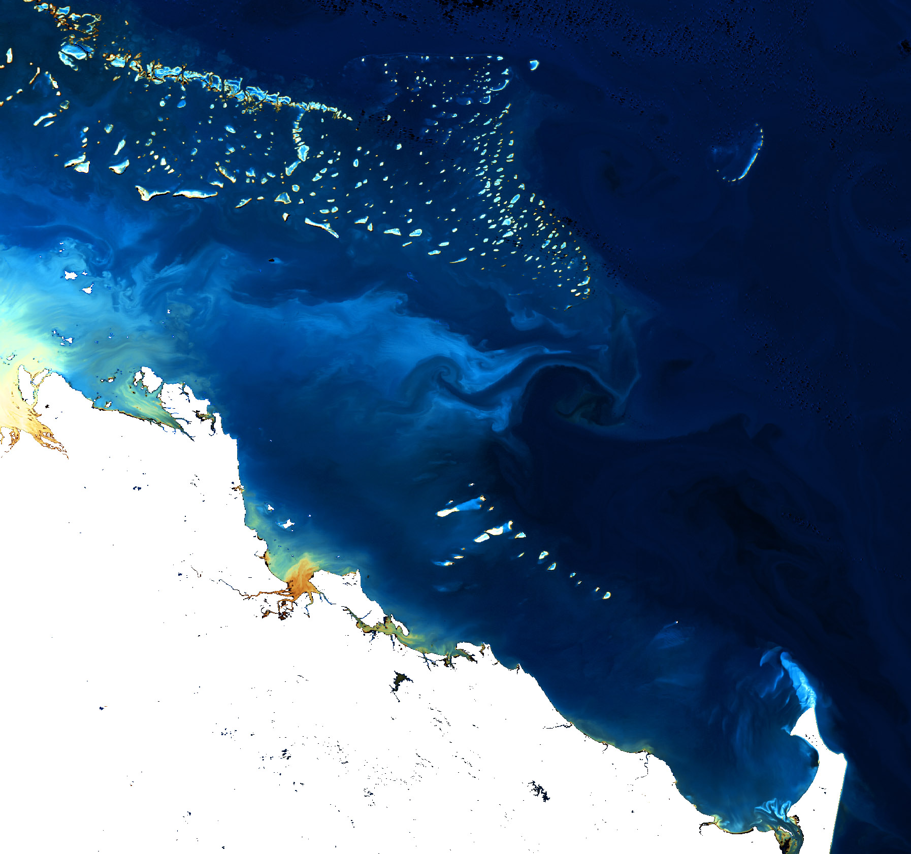
Great Barrier Reef
26. July 2005,
orbit: 17805


C2R RGB
Channels: 6, 5, 2


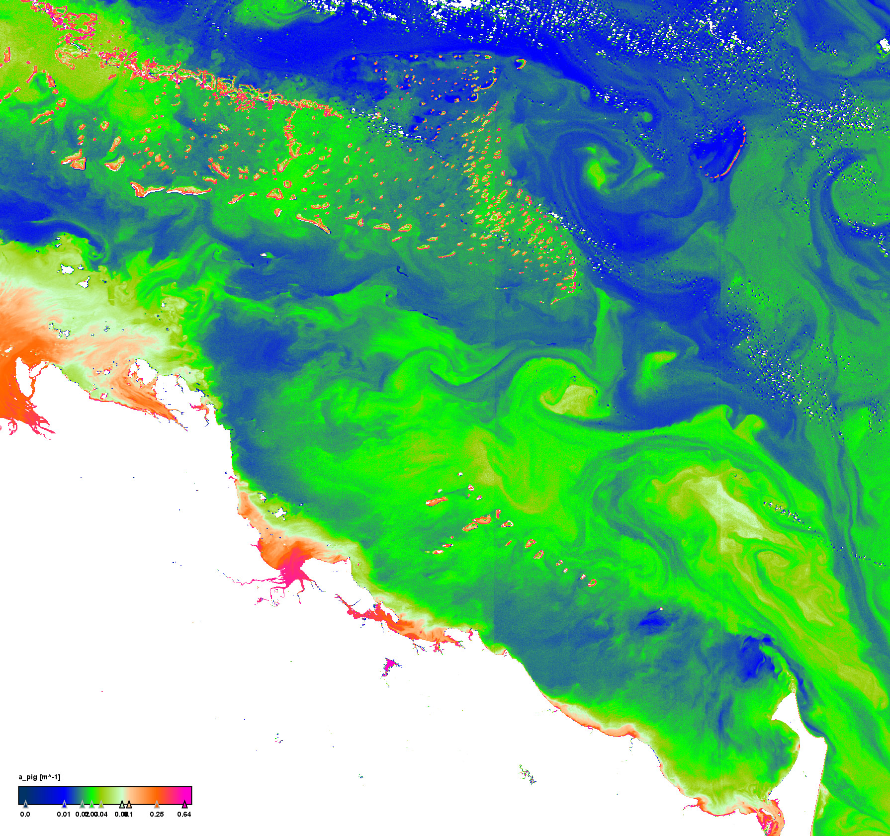
Pigment absorption coefficient


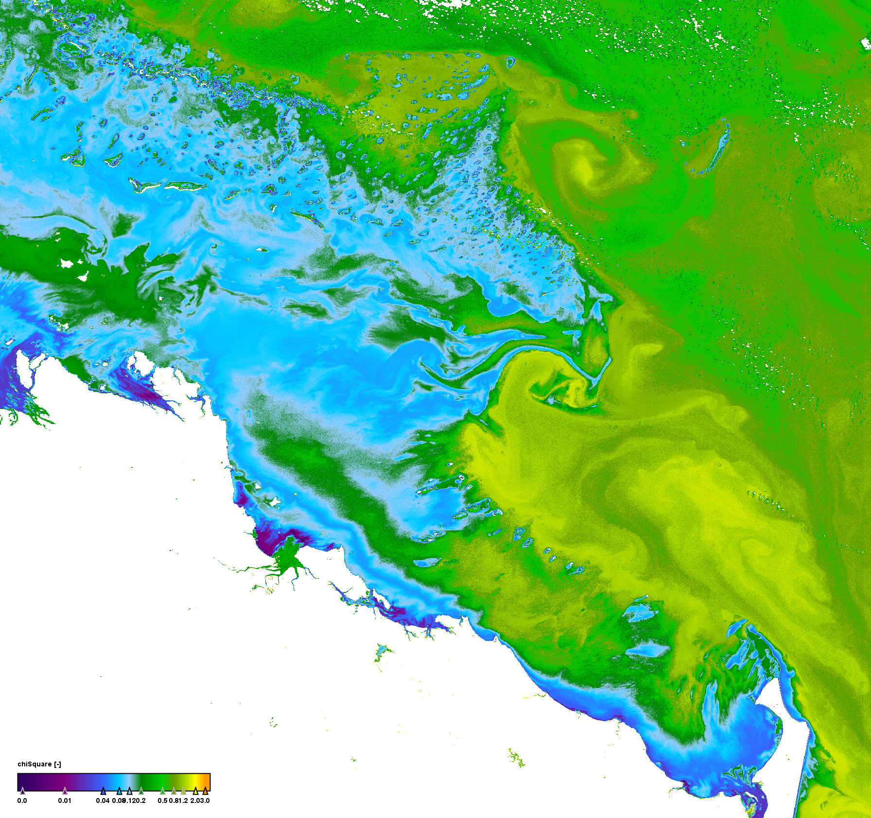
Quality measure of the inversion procedure (chi square)


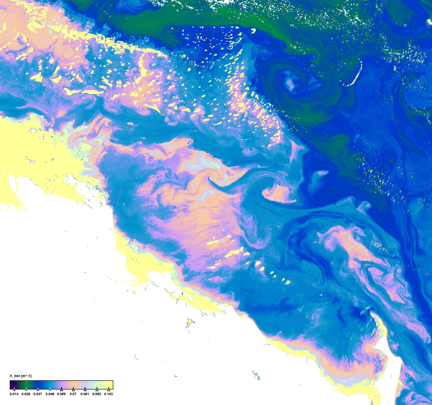
Minimum downwelling irradiance atenuation coefficient


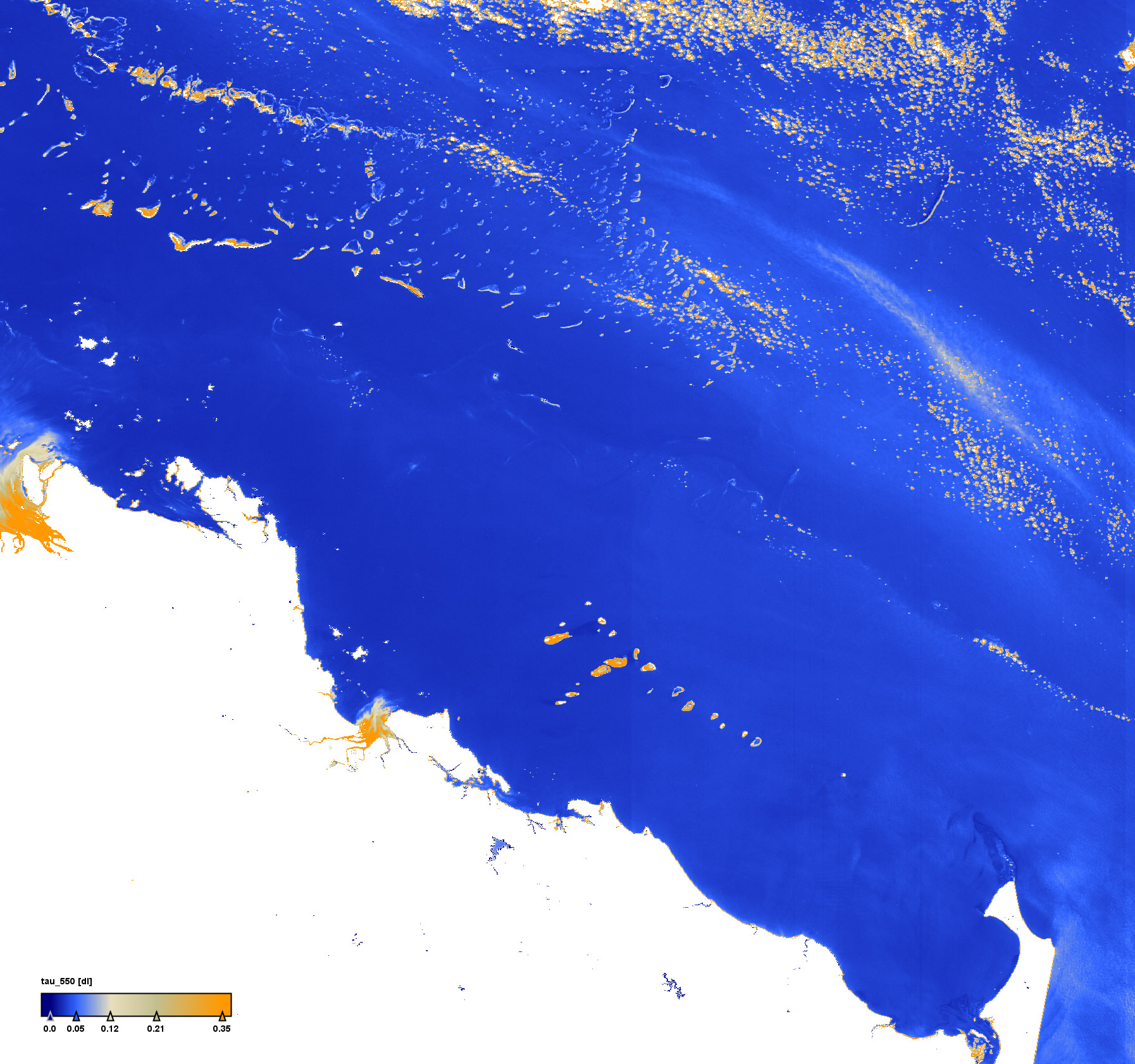
Aerosol optical thickness at 550nm


Click on the small images above to get the full resolution image (appr. 5÷6MB)
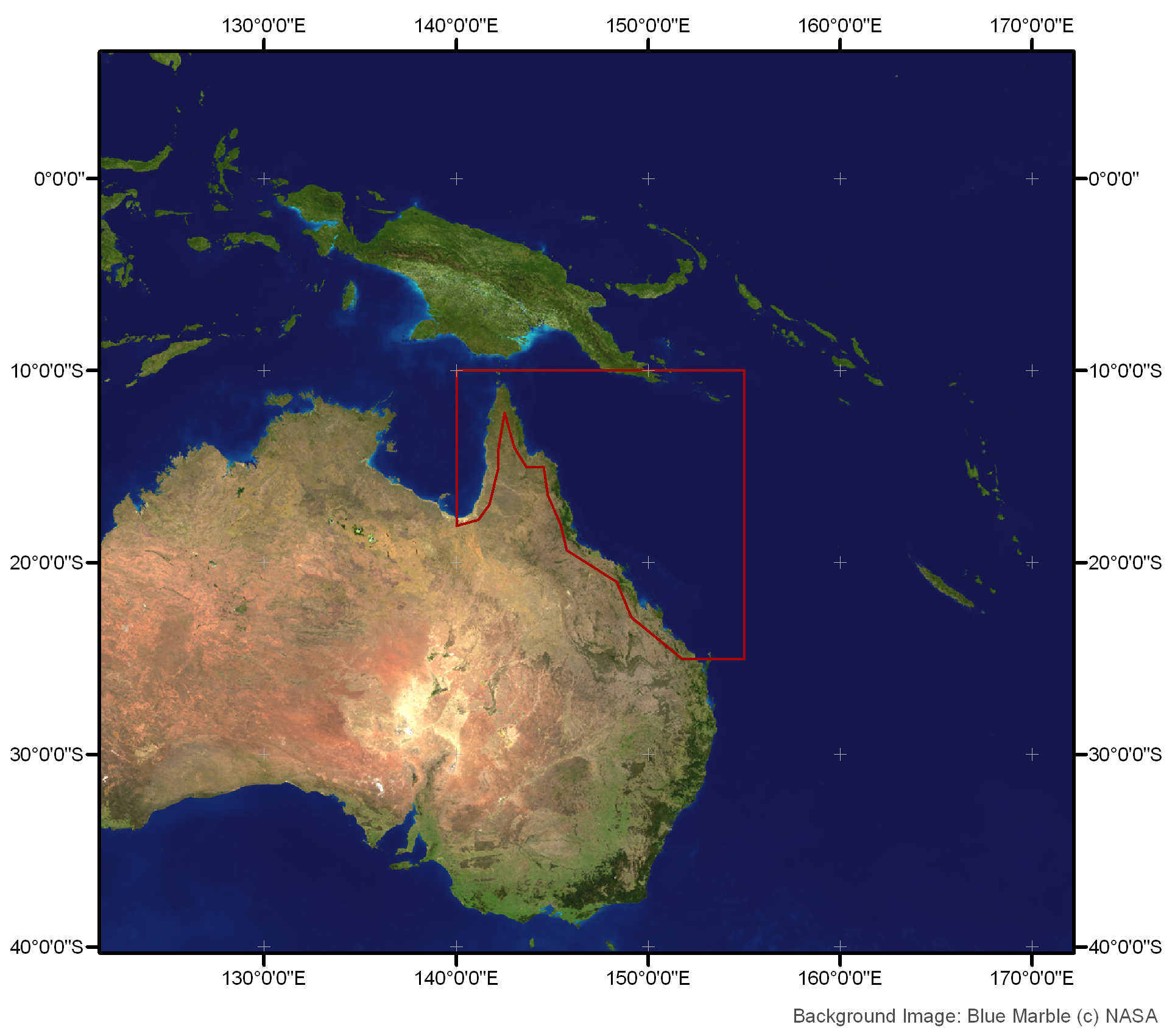
Site12: Great Barrier Reef

Great Barrier Reef and North West Coast of Australia

 Site 12 in Google Earth 

 Download the sample products:
  L1P (115MB)
L2R (262MB)
L2W (436MB)


subset:
L1P (125MB)
L2R (252MB)
L2W (422MB)


Standard products
Experimental products
Responsible partner
  • 1% depth of PAR
  • Primary Productivity or Potential Primary Productivity
  • Effective Fluorescence
 

The Great Barrier Reef is situated adjacent to the Queensland coast, and is the largest reef system in the world. The Great Barrier Reef also supports extensive areas of inshore and deeper water seagrass beds and intertidal mangrove forests. It isolates the continental shelf sea from the adjacent Coral Sea along the northern Queensland coast. In general, oceanic water exchanges freely between the Coral Sea and outer barrier reefs, whereas coastal run-off and inshore processes are the major determinant of inshore lagoon water quality. A significant challenge for remote sensing of coral reef water is the requirement to map water quality (Secchi depth, Kd PAR,tripton,CDOM) and substrate cover type (sea-grass, algae, sand) in a mixture of both clear and turbid waters.