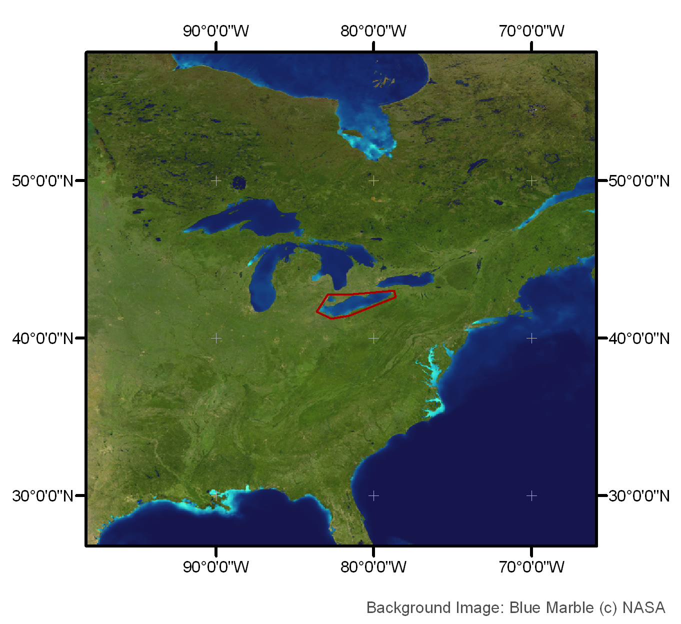
Lake Erie, Lake St. Clair
12. November 2005,
orbit: 19361


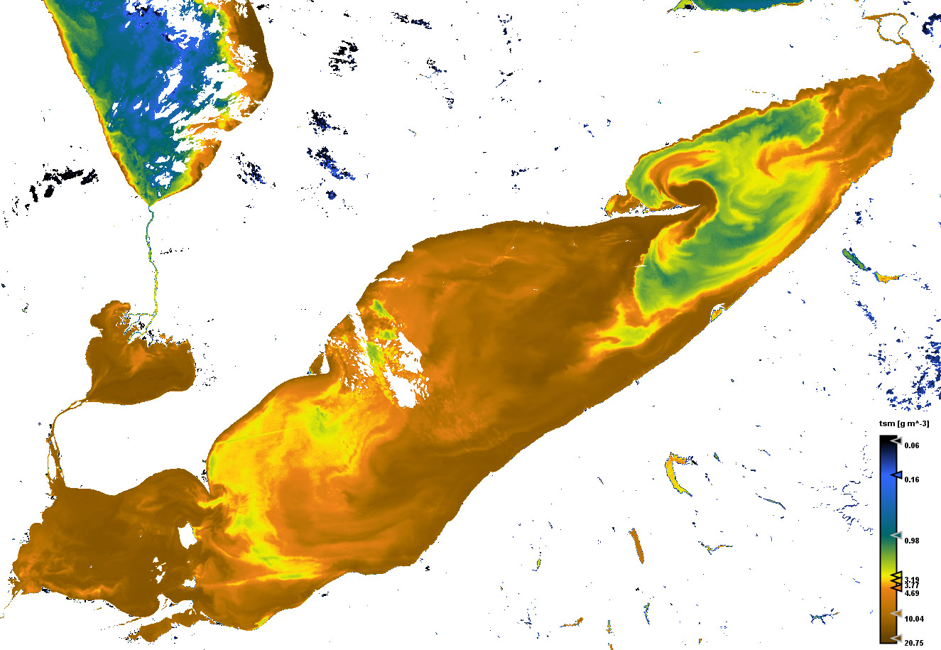
Concentration of total suspended matter


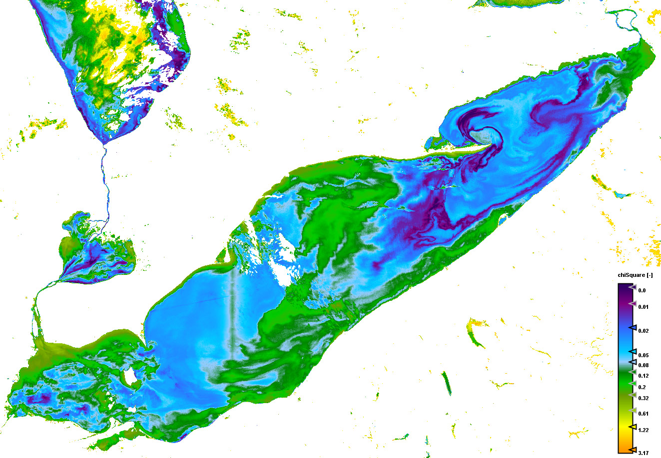
Quality measure of the inversion procedure (chi square)


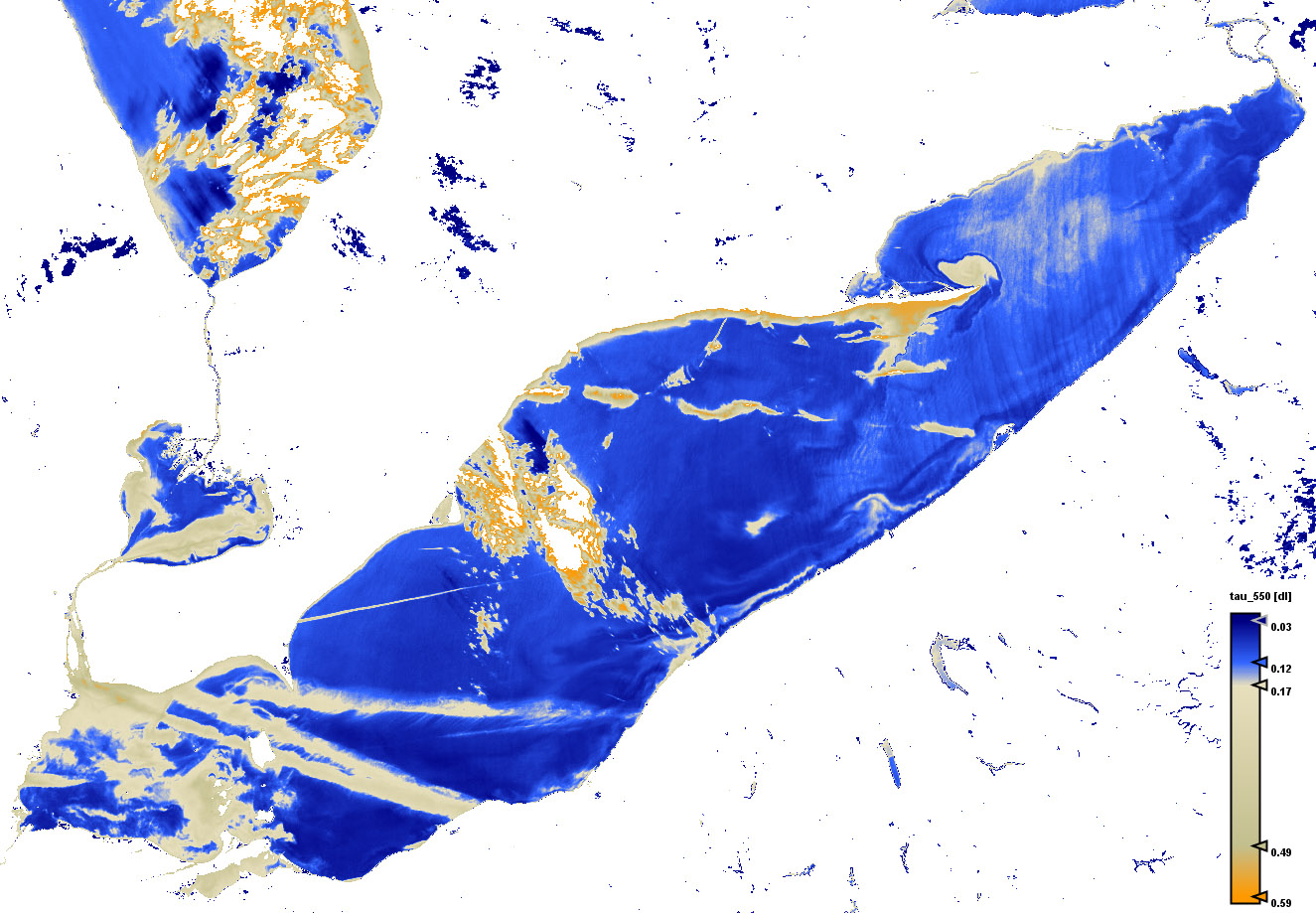
Aerosol optical thickness at 550nm


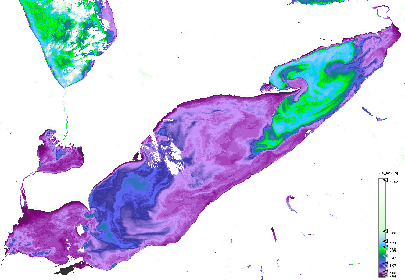
Depth where 90% of the light is absorbed at wavelength where this value is maximal
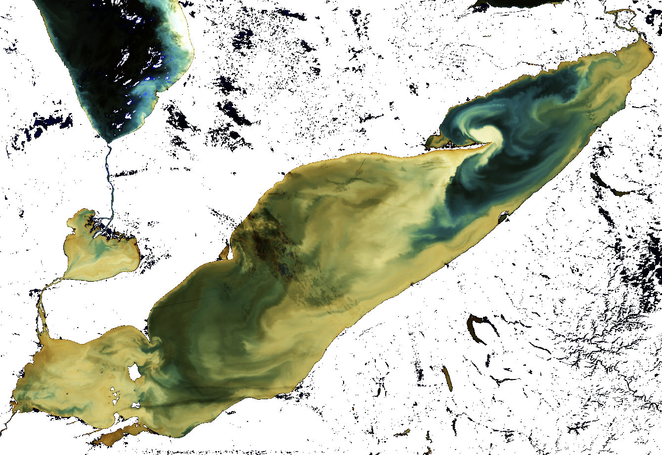
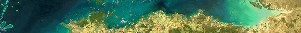
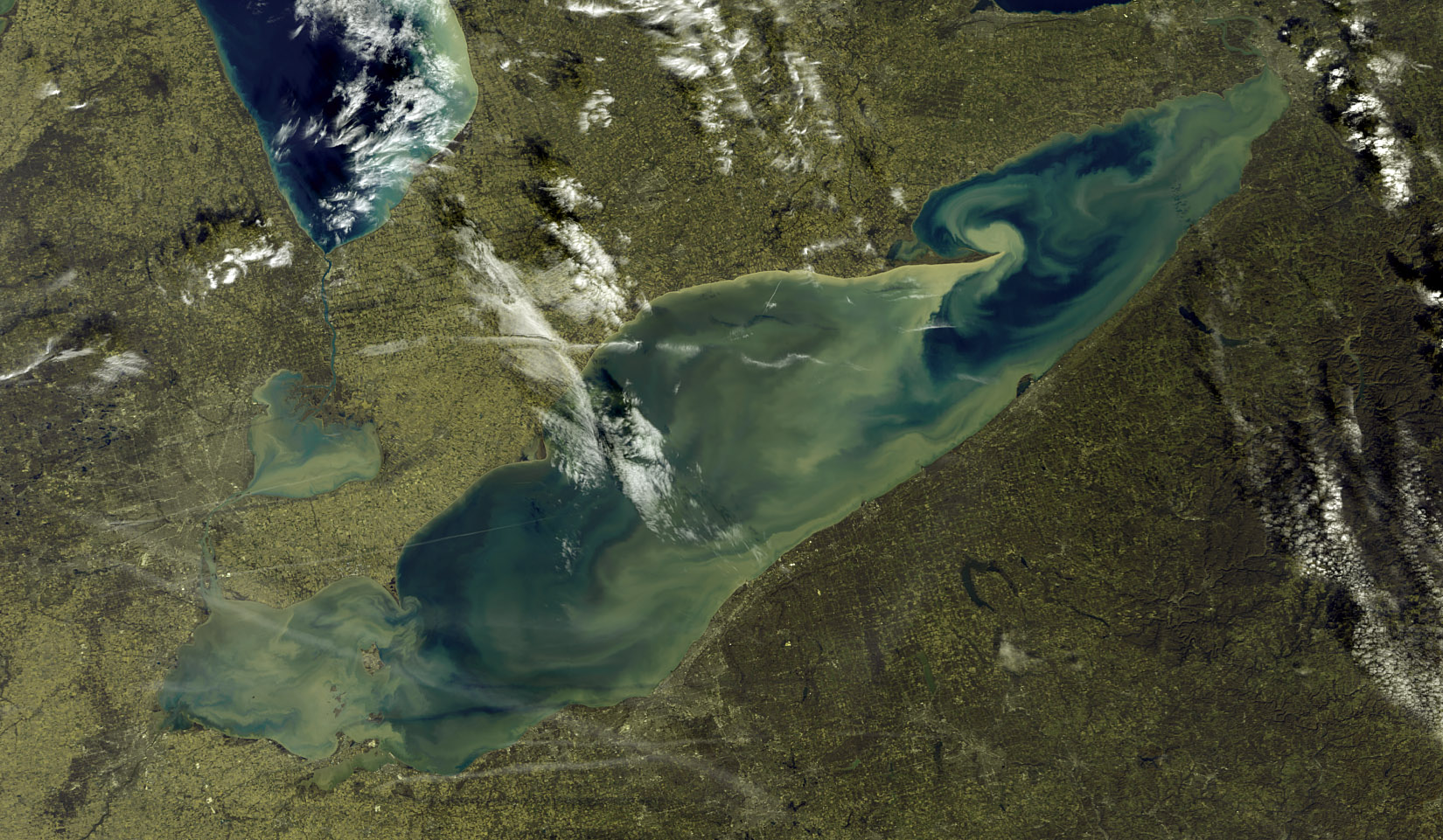
 

C2R RGB image
(bands 6-5-2)


Click on the small images above to get the full resolution image (appr. 5÷6MB)

Site24: Lake Erie & Lake St. Clair

Lake Erie & Lake St. Clair, as an example of inland waters for CoastColour

 Site 24 in Google Earth 

 Download the sample products:
  L1P (48MB)
L2R (50MB)
L2W (73MB)


subset:
L1P (10MB)
L2R (15MB)
L2W (23MB)


Standard products
Experimental products
Responsible partner

Lake Erie is the eleventh largest lake in the world (by surface area), and the fourth largest of the Great Lakes in surface area and the smallest by volume. Lake St. Clair is the smallest lake (~42x39 Km2) in the Great Lakes system, and is not considered to be one of the "Great" lakes but part of the Lake Erie basin. Lake Erie is the most biologically productive of the Great Lakes. The western basin of the lake is very shallow (<10m), while nearly all Lake St. Clair is shallow with an average bottom depth ~ 3 meters deep.
Due to these facts, remote sensing of these water bodies facing various challenges that include

1.- Bottom effects: observed light coming from bottom reflection as well as from water column scattering
2.- Adjacency effects: because of the small size (especially Lake St. Clair), the observed light includes contributions from nearby land and terrestrial surfaces
3.- Horizontal heterogeneity: due to different river inputs, the bloom of algae has high spatial variability, consequently biogeochemical properties between pixels and/or within a pixel are not necessarily uniform.