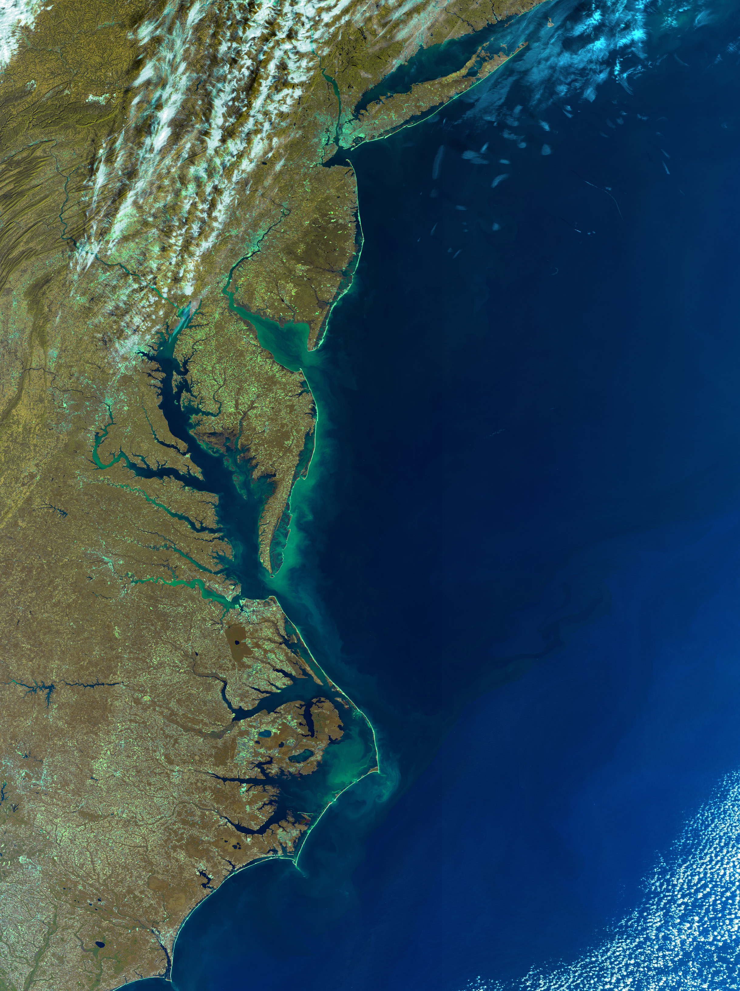
Chesapeake Bay
31. October 2005,
orbit: 19189


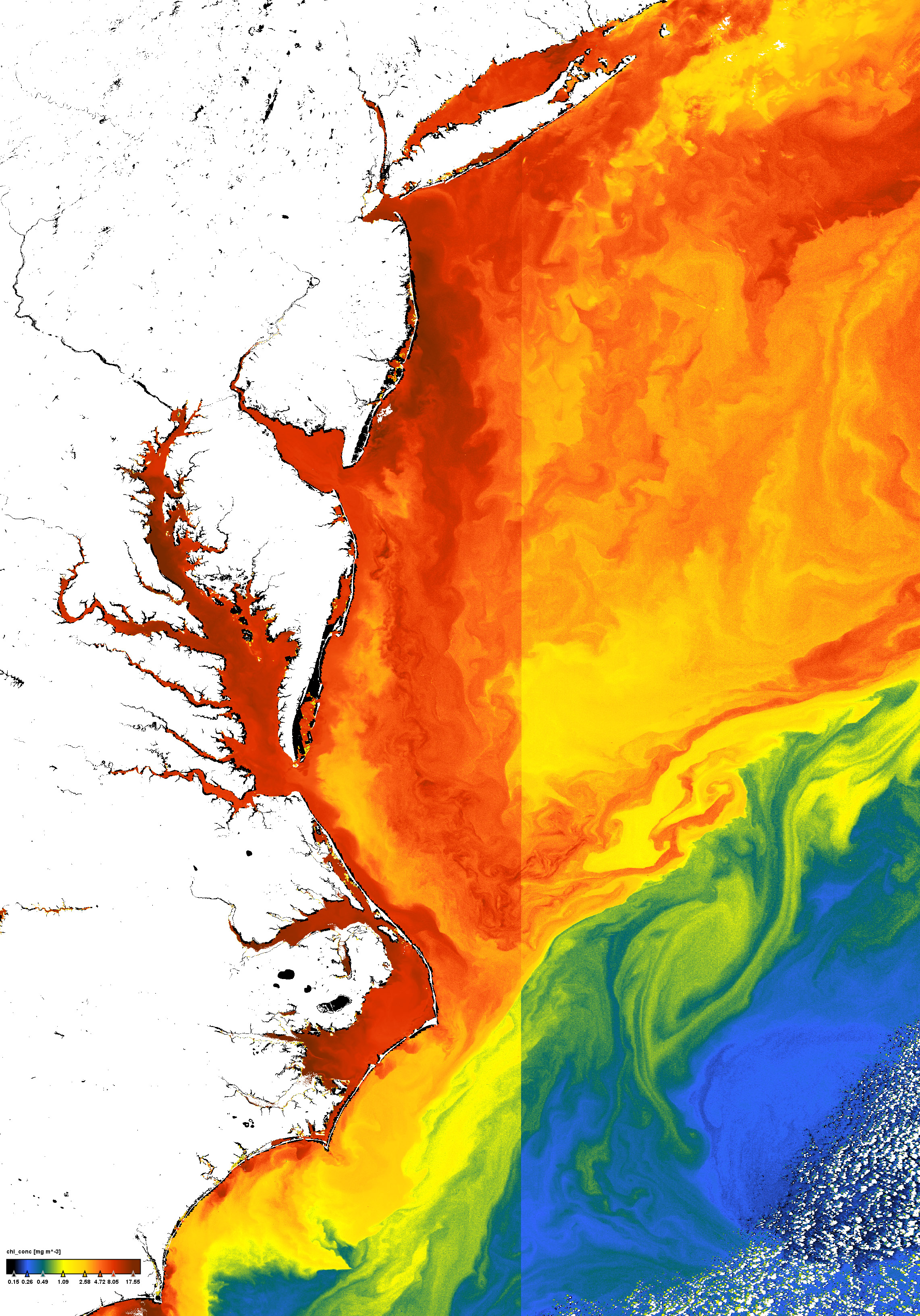
Chlorophyll concentration


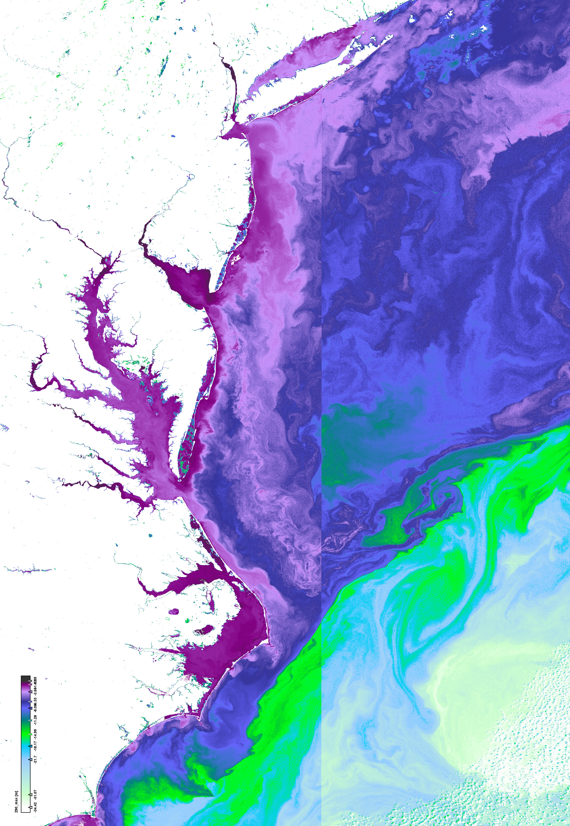
Depth where 90% of the light is absorbed at wavelength where this value is maximal


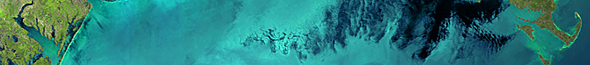
Click on the small images above to get the full resolution image (appr. 5÷6MB)
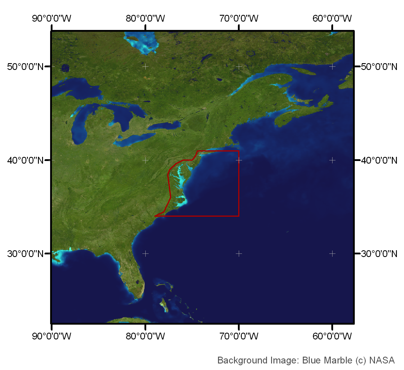
Site6: Chesapeake Bay

Chesapeake Bay and Pamlico Sound

 Site 6 in Google Earth 

 Download the sample products:
  L1P (228MB)
L2R (413MB)
L2W (693MB)


subset:
L1P (73MB)  
L2R
(161MB)  
L2W
(275MB)


Standard products
Experimental products
Responsible partner
  • Concentrations of some taxonomic of functional groups such as Coccolithophorides, Cyanobacteria etc.

The Chesapeake Bay is one of the largest and most productive estuaries in North America. The Bay is fed by a multitude of major and minor rivers, and demonstrates a wide range of trophic states, from highly turbid conditions in the northern reaches to nearly open ocean conditions to the south. An extensive collection of in situ measurements of chlorophyll-a and other water quality parameters spanning the MERIS mission lifetime is available through the SeaBASS archive at NASA, as well as a limited set of in situ radiometry. The Bay has also been extensively studied through NASA remote sensing measurements (e.g., Werdell et al., 2009), and full-resolution MERIS data collected from the Canadian CCRS ground station is now readily available for the region.